

StormPilot is Esri compatible.
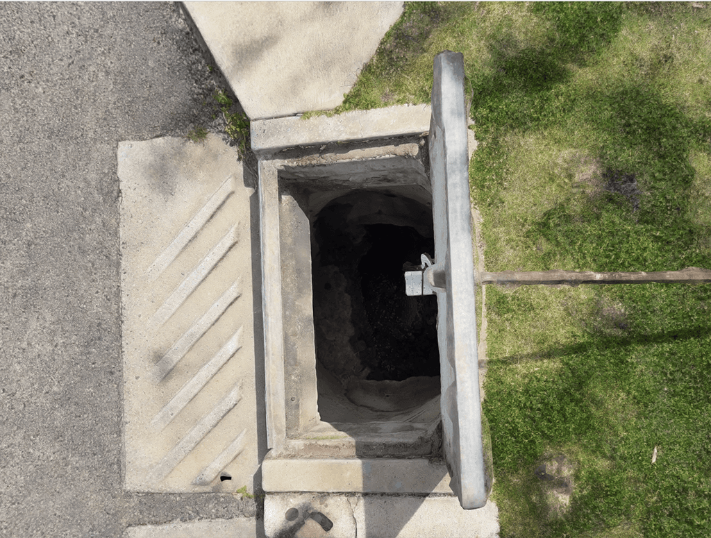
3D pit images integrated with simulated real time levels.
Real time digital twinning & XR 3D pit visuals.
Key Features
Real-Time Reflection
Seamlessly replicates your network’s current state—structures, sensors, flows—mirrored in a virtual model.
Scenario Simulations
Run “what-if” drills—test heavy rainfall, blockages, infrastructure upgrades—all virtually, no downstream risk.
AI-Enhanced Forecasting
Powered by machine learning, Twin simulates responses and outcomes under diverse conditions, from routine flow changes to severe storms
.
Performance Planning
Predict system strain, identify upgrade needs, and plan maintenance with actionable accuracy.
Why Twin Matters
Councils & Utilities: Save time and budget by validating plans before they’re implemented on the ground
Engineers & Planners: Go beyond maps—model dynamic scenarios and tweak designs in virtual space
Stakeholders: Build trust with data-driven foresight—not just reaction