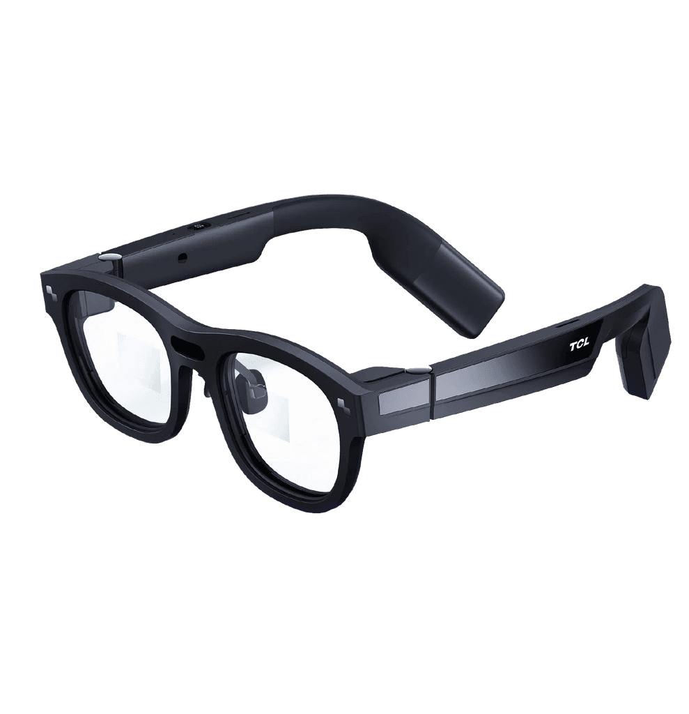
XR transforms stormwater management from screen-watching to scene-walking. Launching in 2026, it brings your network to life with AR/VR immersion, so you can inspect, diagnose, and strategise—without stepping into real-world flooding.
Inclusive technologies that simplify and make for safer work in the field are coming soon.
Key Features
Live Immersion
Walk through your stormwater system in augmented or virtual 3D—see pipes, sensors, flows, and flood projections as if you’re there.
Spatial Awareness
Understand infrastructure in real-world scale and context. Spot potential risk zones visually instead of abstractly.
Training & Planning Simulator
Run immersive drills—train teams, test maintenance workflows, and plan upgrades in virtual environments before real-world deployment.
Integrated Insights
XR works hand-in-hand with LiveFlow, Zone, and Twin, blending live data, maps, and simulations into your immersive experience.
Why XR Matters
For field operators: Explore what’s underground or high above without climbing, slipping, or guessing.
For engineers: Virtually stress-test your infrastructure layout and scenario plans before committing budget or boots on the ground.
For stakeholders & communities: Visualise risk zones, flood mitigation proposals, and emergency response plans in a way everyone can understand.

